A sudden western disturbance has flipped India’s weather script, promising a barrage of rain, snow, hail, and high winds over the next day. North-west and central regions, including Delhi, UP, Punjab, and Madhya Pradesh, are in the crosshairs. IMD predicts thunderstorms accompanying downpours, with winds howling at 40-50 km/h—perfect recipe for upheaval in late January.
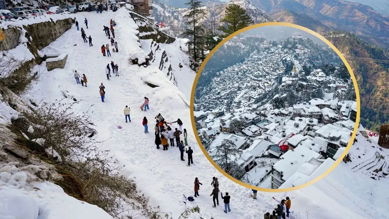
Focus on the mountains: J&K, Ladakh, Himachal, Uttarakhand set for thunder-rain and snow 27-28 Jan. Lowlands follow—Haryana, Delhi, Rajasthan, west MP with hail risks on 27th; Punjab-Haryana-Chandigarh moderate rain; west-east UP windy showers. Bihar’s turn comes 28th with light-moderate rain; spotty precipitation in MP and Chattisgarh.
Recent fog mayhem: Western UP saw visibility plummet below 50m; similar in Punjab, east MP, Meghalaya today. Cold lingers—northwest mins at 5-10°C, Alwar’s 4.5°C standout. Himachal’s districts remain frozen.
Srinagar Airport shut down completely Tuesday amid Kashmir snow blitz, axing 58 flights (29 each way). Runway hazards prompted the call; ops resume on clearance. Mumbai, far south, logged freak January rain again—eastern areas soaked more than rest.
From grounded planes to waterlogged streets, this disturbance tests resilience. Authorities recommend avoiding unnecessary travel, battening down for winds, and staying tuned to updates. As winter bids a stormy farewell, vigilance ensures safety amid the deluge.

