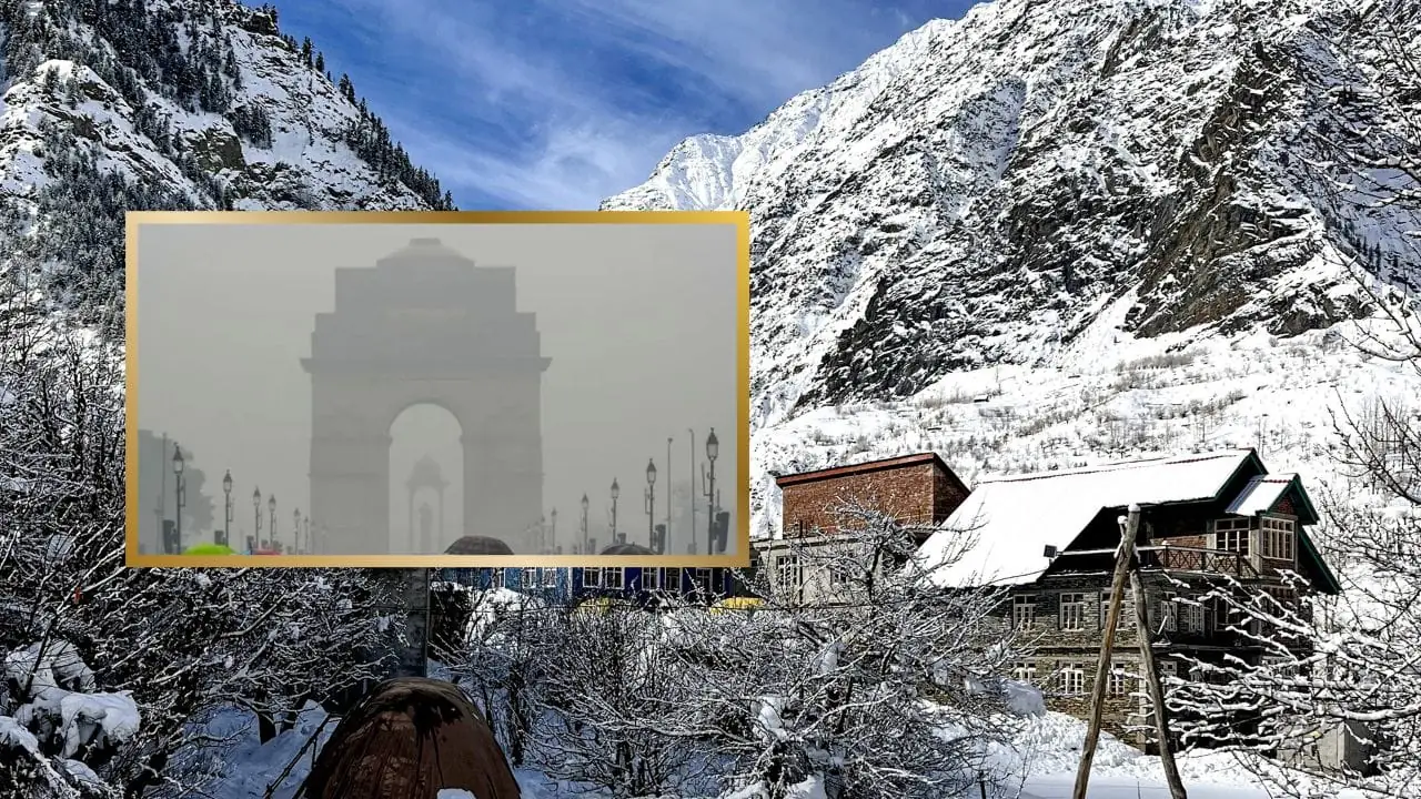
A fresh meteorological shake-up grips northern India as February 3 dawns with a yellow alert for thick fog over Delhi-NCR. After yesterday’s overcast skies and no sun, the IMD forecasts continued haze, with temps maxing at 20°C and dipping to 8°C. The last 24 hours mirrored this, blanketing the capital in fog that hampers daily life from early mornings.
Up in the Himalayas, Himachal and Uttarakhand prepare for rain-snow combos driven by strong 30-40 km/h winds. Upper Himachal heights predict snowfall, extending prior events: 15 cm in Kullu’s Kothi, 21.2 mm rain in Chamba’s Bhatiyat, and -7.9°C lows in Lahaul-Spiti’s Tabo. These spells heighten landslide risks and roadblocks in scenic but perilous terrains.
Plains states feel the ripple too. Light rain with thunder hits UP, east Rajasthan, north MP, Gujarat on the 3rd, winds whipping to 50 km/h. In Rajasthan, Kota-Udaipur zones see ongoing drizzles for days, post Chittorgarh’s 13 mm. Dense fog looms over state’s northwest-east parts, Punjab to February 3, west UP to 5th.
Extended fog warnings blanket Haryana, Chandigarh, Bihar, Odisha, north MP next two days. Coastal cautions for Bay of Bengal, Arabian Sea segments—Comorin, Mannar Gulf, south Tamil Nadu—advise no venturing till February 7. Northwest-central-east India mins hold steady weekly; Maharashtra set for 24°C warmth in three days. This weather carousel demands preparedness from all sectors.

