Air travel grinds to a halt on the US East Coast as a monstrous winter storm triggers blizzard warnings and over 1,500 flight cancellations. Major metros like New York and Boston are in the crosshairs, facing paralyzing snow, hurricane-force wind gusts, and flood risks along vulnerable shorelines.
Experts at the National Weather Service pinpoint a Southeast low-pressure system as the culprit. It will race toward southern mid-Atlantic shores Sunday morning, intensifying swiftly to batter the Northeast by dusk. Projections call for snowfall accumulation of 12 to 24 inches, delivered in bursts exceeding one inch hourly—enough to bury vehicles and shut down interstates.
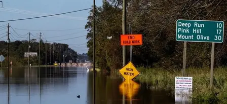
From Delaware beaches to New England’s southeast tip, the forecast screams danger. Winds roaring at 40-70 mph threaten structural damage and blackouts, while heavy snow loads snap branches onto power grids. Coastal flooding will compound the misery, submerging low-lying areas and stranding motorists.
February’s notorious weather pattern—icy air slamming into Atlantic warmth—breeds these tempests, and this one looks textbook ferocious. Airports from LaGuardia to Logan are ghost towns, with carriers issuing waivers and waivers piling up. Residents are advised to fortify homes, charge devices, and steer clear of roads as conditions deteriorate Sunday night into Monday.
This event highlights winter’s lingering punch, disrupting commerce, commutes, and coastlines alike. With real-time forecasts evolving, heeding official guidance remains paramount for safety amid the onslaught.

